
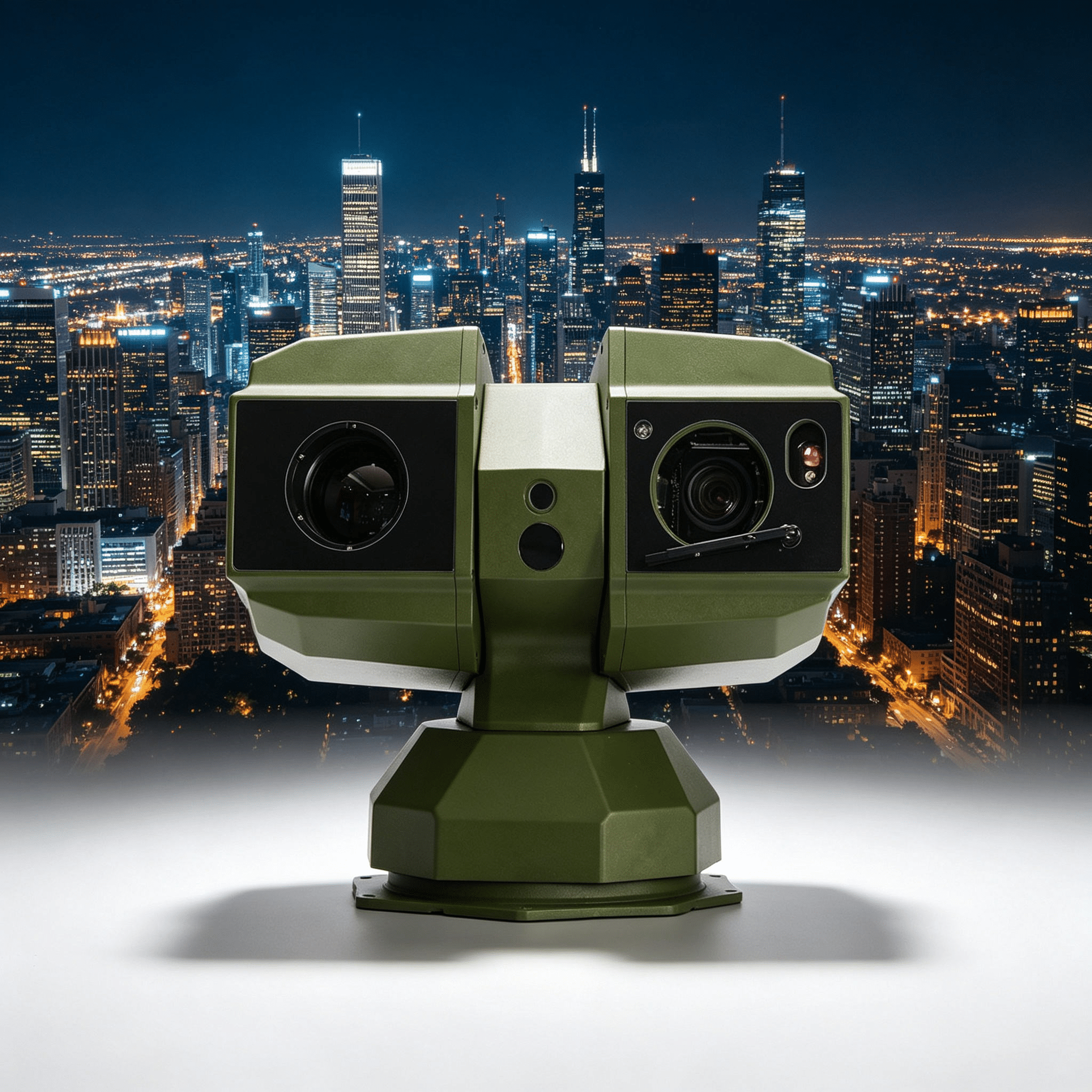
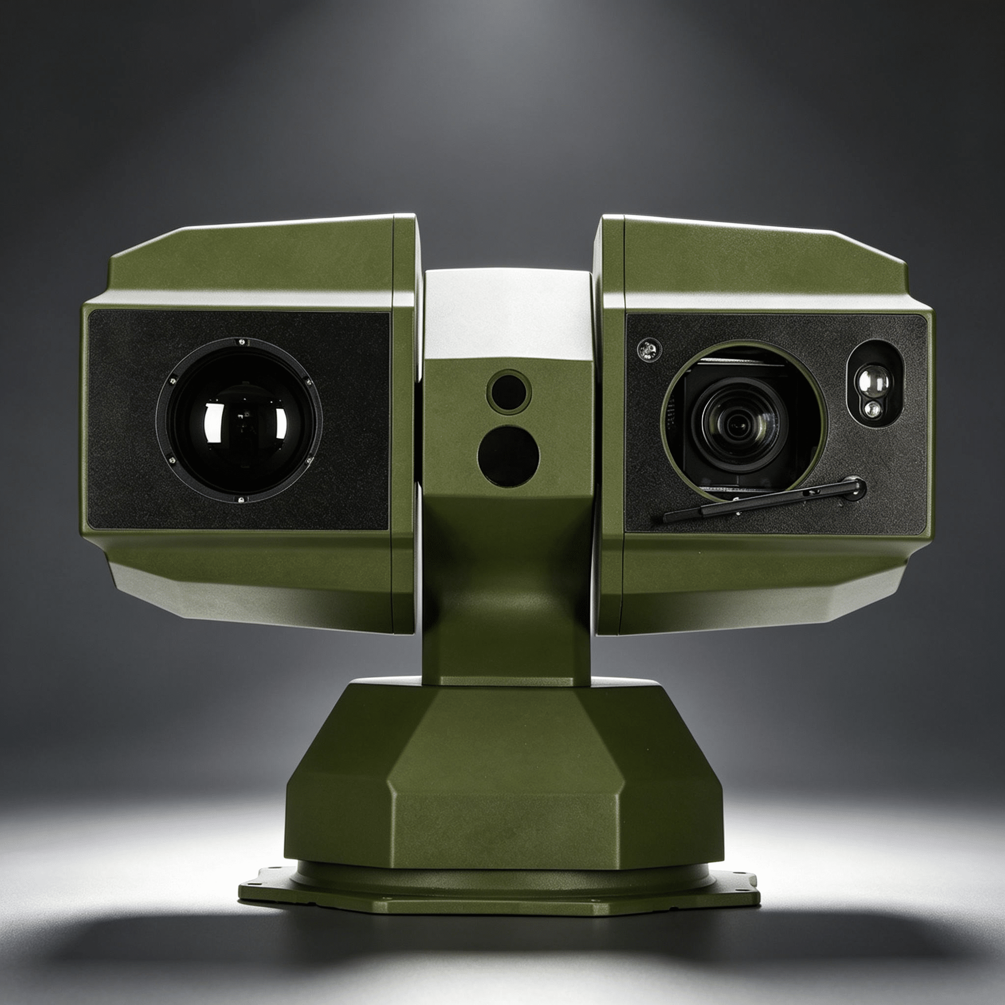
A multi-sensor architecture combining thermal imaging, visible imaging with 92x optical zoom, laser ranging and precision PTZ positioning for long-range drone detection and tracking.
The high-sensitivity 640×512 thermal sensor enables the early detection of small aerial targets in low-visibility conditions, including darkness, mist, smoke and inclement weather.
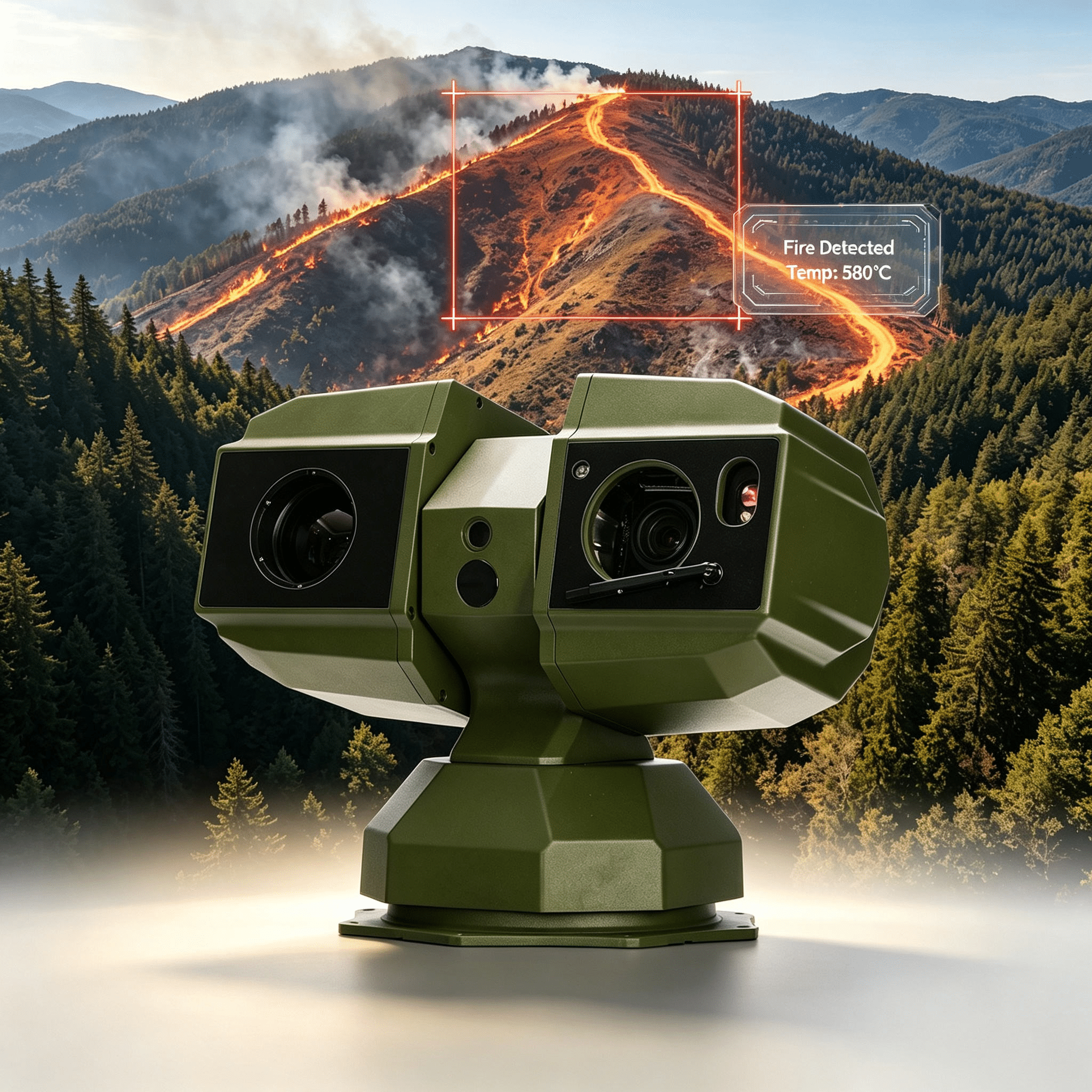
AI-assisted smoke and fire detection, intelligent target classification and automatic tracking enable early identification and continuous monitoring of potential wildfire incidents, whilst minimizing false alarms and the need for operator intervention.
The integrated 6 km laser rangefinder provides accurate information on target distances to support threat assessment, interception planning and system coordination.
High-precision positioning mechanism with continuous 360° rotation. The panoramic coverage ensures rapid detection, automatic verification and precise tracking of smoke plumes and fire hotspots across vast forested and mountainous areas.
An open architecture supporting ONVIF, the Web API, alarm outputs and third-party command and control platforms enable seamless integration with forest fire monitoring, emergency response and smart forest management systems.
Robust, IP67-certified construction designed for reliable operation in harsh outdoor environments, including border regions, coastal areas, industrial facilities and critical infrastructure sites.


EOS_810
© Since 2006 KAREDESS - Website creation in Sausheim